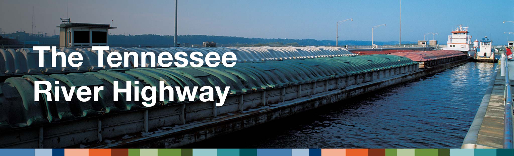
The Tennessee River Highway
The Tennessee River is an important highway for companies. Large boats, called barges, can move a lot of heavy cargo from place to place.
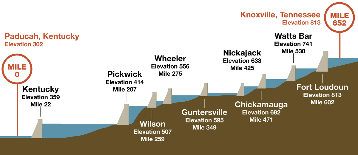
Each year, more than 28,000 barges move 45 to 50 million tons of goods from Paducah, Kentucky, to Knoxville, Tennessee. That’s more than 650 miles!
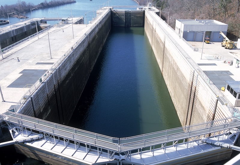
Along the way, the barges pass through locks. These are similar to elevators. They help boats move up or down as the river’s elevation changes.
Big Cargo
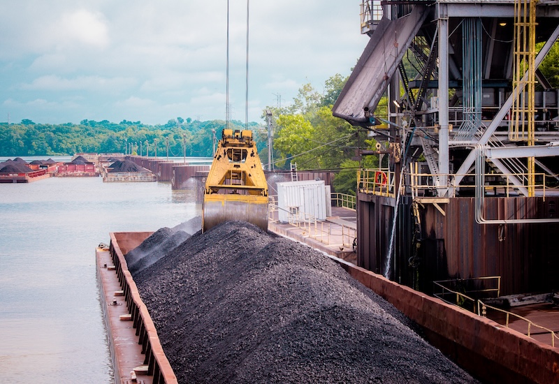
The barges carry a lot of different kinds of cargo.These items are really heavy and take up a lot of room. It’s easier to move on water. One barge can carry as much as 60 large trucks.
- Raw Materials: coal, limestone, sand
- Farm Products: grain, corn, soybeans, fertilizers
- Forest Products: Timber, wood chips
- Manufactured Equipment: large equipment, like cranes, military vehicles, power plant equipment, rocket boosters.
A World-Wide Connection
The Tennessee River navigation system also lets people ship their goods around the world.
The Tennessee River is part of the Inland Waterway System. This system includes other rivers, like the Ohio River, Missouri River and the Mississippi River.
Cities along the river have ports. These ports are where barges and ships come in and load up or offload cargo. They’re usually near areas with industries that need the materials being shipped or who are manufacturing large equipment.
The Port of Decatur in Alabama is one of the busiest ports on the river. More than 5 million tons of river freight passes through this port each year.
Dangerous Waters
Before TVA’s system of dams were built, shipping on the Tennessee River was dangerous. The stretch of the river near Muscle Shoals, Alabama, was especially dangerous. It had a lot of rocks and shallow areas that kept barges away from the area most of the year. Wilson Dam, built in 1924, helped make this part of the river safer for boats. Some of the dangers were:
- Fast currents
- Rocks
- Shallow areas
Know the Signs
Like any highway, there are rules for how boats travel. TVA works with the U.S. Army Corps of Engineers and the U.S. Coast Guard to keep the river highway safe for everyone. Navigational signs help people know where the river is deepest and where there may be hazards under the water.
- Navigation Lights: Flash red or green depending on which bank they are located.
- Buoys: These are floating signs anchored in the water. They mark the navigation channel, identify boating hazards.
- Daymarks/Daybeacons: These mark a clear channel between two points.
TVA Public Lands
Find these words: